NV Atlas Sverige Norra Västkusten
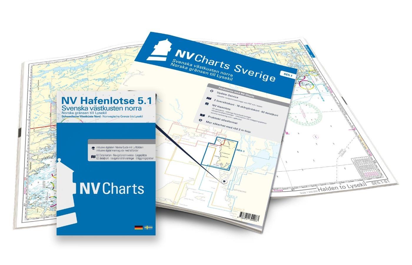
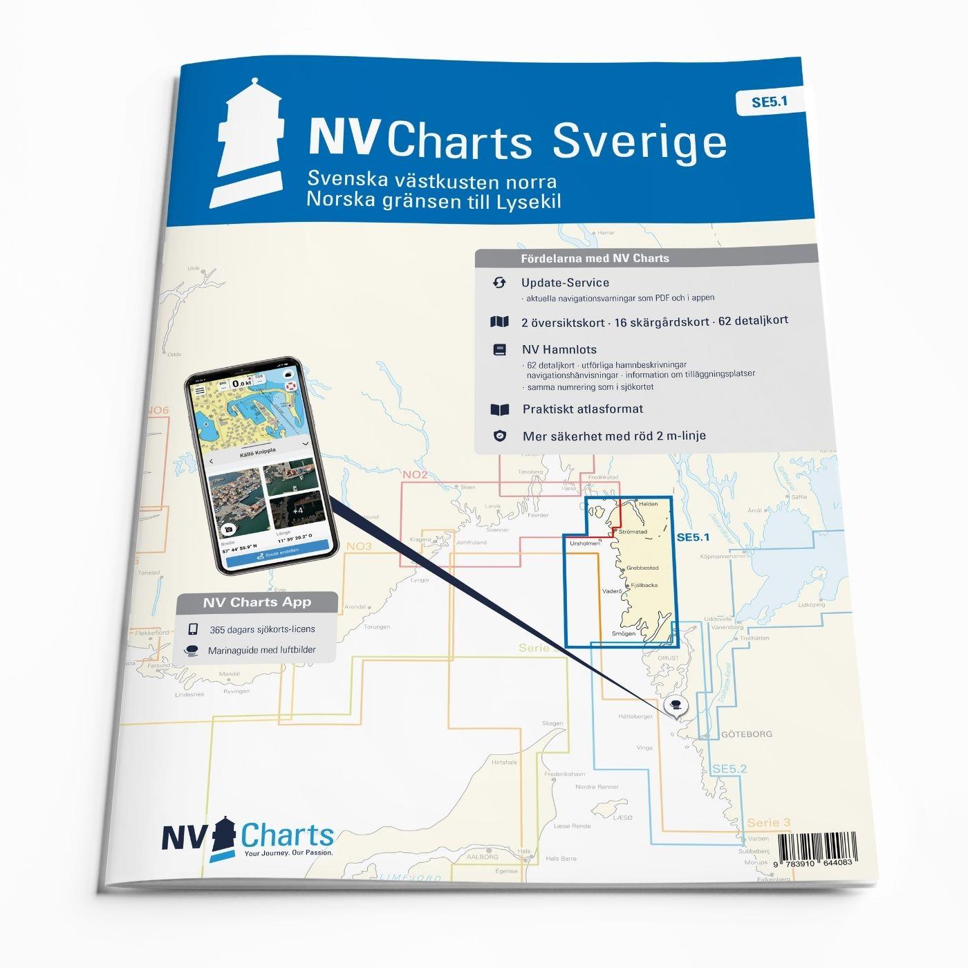
To get the the Oslofjord via the Swedish West Coast, there is no way around the NV Charts Atlas Series 5.1 Svenska Västkusten Norra past. This chart series, specially designed for recreational boating, contains nautical charts in various sizes, as well as all harbour plans and details for approaches and passages in the waters. In addition, there are also passageways for bridges, power lines, etc., as well as all nautical and navigational information. Thanks to the clear layout, the recreational skipper can quickly find approaches, harbours and anchorages and is made aware of navigationally important details that also appear in the NV Charts app. The chart series impresses with its optimal dimensions and balanced sheet sections.
Regions overview
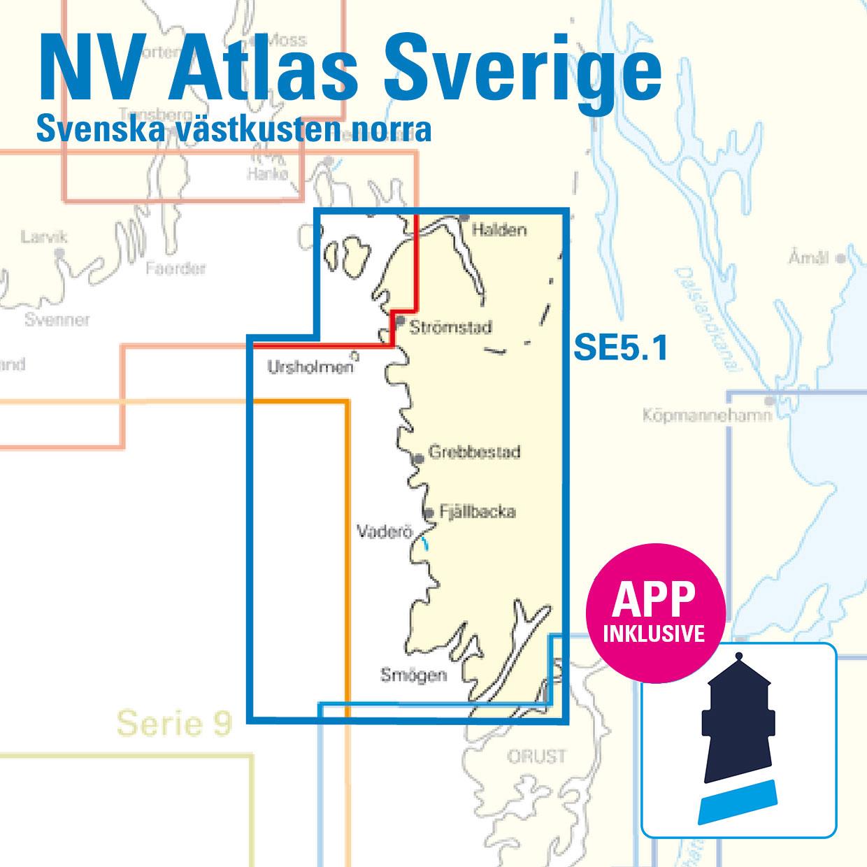
This set of nautical charts starts on the beautiful island of Smögen and goes past Fjällbacka, Grebbestad, Stroemstad on Svinesund to Halden in Norway. All the larger harbours are included in the itinerary so that you can call at secluded anchorages or harbours as you wish. You are now on the Norwegian side and can pass directly through the Oslo Fjord. Nothing stands in the way of a summer holiday in the West Swedish archipelago. Thanks to the publisher's own surveys and information, this set of charts for the archipelago is probably the most detailed recreational boating chart set on the market. In many of the areas of interest to recreational boating, larger dimensions are used and additional charts are included. A harbour pilot with sports boats and anchorages is included. Further important nautical information is available in German and Swedish.
Do you have enough time for your trip? Then why not add the Norwegian series NO 1 and NO 2 to this set of charts. With these two charts, you are on the safe side when entering and exiting the almost 120 km long and busy Oslofjord.
This map set includes
- 2 Übersegler / Översiktskort
- 16 area maps / Skärgårdskort
- 62 detailed maps / Specialkort
- Digital charts for navigation programme and NV Charts app 356-day licence
- Harbour pilot in paper / digital in German and Swedish language
- Navigation instructions in German / English / Swedish
- Fulfils the legal requirements for current paper charts on board pleasure craft
Charts and measures included
Übersegler/Översiktskartor
S1 Halden to Lysekil 1: 240.000 , S2 Lysekil to Varberg 1: 240.000 , (Pilot Chart Anholt-Færder-Jomfruland 1: 750.000 only in digital format)
District maps/ Detaljkartor 1:40.000
S3 Krokstrand to Svinesund 1: 40.000 , S3A Åbyfjorden to Brofjorden 1: 40.000 , S4 Svinesund to Dynekilen 1: 40.000 , S5 Dynekilen to Koster Fjord 1: 40.000 , S6 Koster Fjord to Havstenssund 1: 40. 000 , S7 Havstenssund to Bramskär 1: 40.000 , S8 Bramskär to Hamburgsund 1: 40.000 , S9 Hamburgsund to Smögen 1: 40.000 , S10 Smögen to Fiskebäckskil 1: 40.000 , S11 Gullmarn Fjord 1: 40.000
Detailed maps: 1:20.000
S12 Koster Skärgården 1: 20,000 , S13 Grebbestad to Fjällbacka 1: 20,000 , S14 Fjällbacka to Dannemark 1: 20,000 , S15 Dannemark to Sotekanal 1: 20,000 , S16 Smögen to Malmön 1: 20,000 , S17 Malmön to Lysekil 1: 20,000
- Betala säkert med kort
- Maila oss, så svarar vi!
\* Redigera dessa rader under Innehåll > Produktsida
Beskrivning